How DRONES are transforming the construction workflow

The construction industry is one of the industries that have undergone fast changes in recent years. The technological development has seen drone technology take over most of the construction work in the industry.
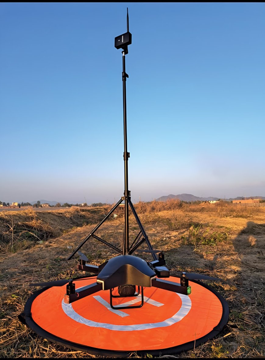
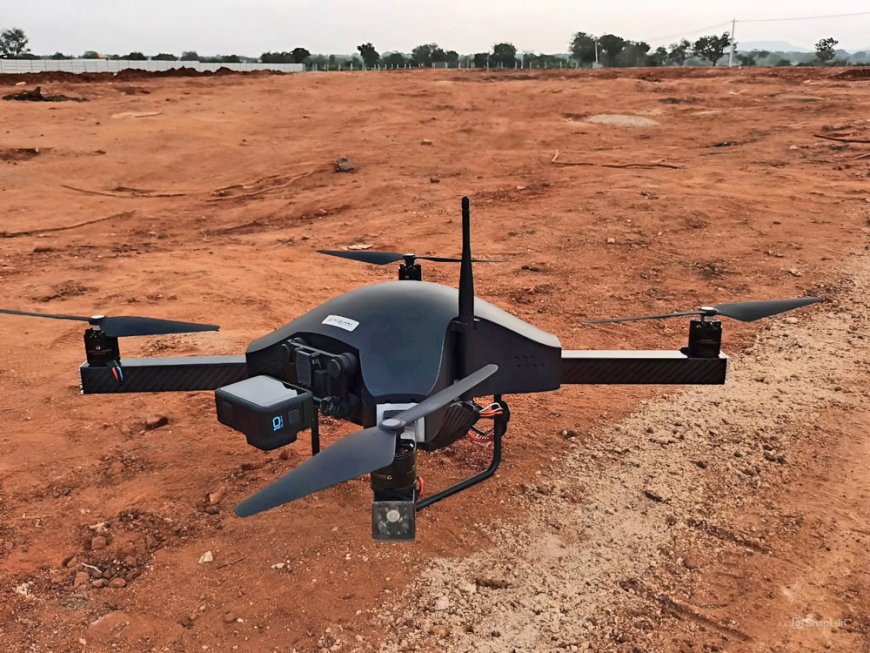
Drones are revolutionizing the construction industry, and impact all phases of the building process, from preliminary site assessments to final inspections. They are used in variety of tasks, which improves accuracy, lowers complexity, and produces data required for effective project management. Drones have been affecting the whole building life cycle, from design to construction, making the transition from blueprint to reality more efficient and precise.
Initial site assessment
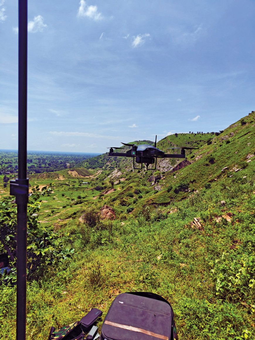
Aerial site surveys: Drones using high-quality cameras may conduct aerial surveys to collect high-resolution pictures and data and offer a bird-eye view of construction projects.
Its initial assessment of construction sites offers detailed topographic maps, 3D models, and photos that help construction managers understand the site's layout and characteristics. This information is crucial for evaluating site conditions, identifying potential challenges, and making informed decisions during the planning phase.
Terrain analysis: Drones are equipped with LiDAR sensors making them capable of conducting detailed terrain analysis. They monitor the elevation changes, identifying slopes, and assessing soil composition. This data simplifies the understanding of site stability and drainage patterns, which is beneficial for designing foundations and other critical structural elements. The early identification of topographical issues allows for timely modifications and interventions in project plans.

Design and planning
Accurate design implementation: Due to drone's cameras high resolution, the data captured by drones, helps architects and engineers create more accurate and informed designs. These virtual representations of actual site conditions help in reducing differences between the actual features, because of its accuracy. Thus, minimizing construction errors and finalize construction site with the original design.
Visualization and stakeholder engagement: Using drones makes it easier to develop fly-through and accurate pictures of proposed projects. Stakeholders, like clients and regulatory agencies, can understand the project's scope and effect with the help of these pictures. Enhanced images help in better coordination and communication amongst all stakeholders, speeding approval processes and reduce the need for changes.
Construction and project management
Real-time progress tracking: Drones provide real-time aerial footage and data, which helps project managers to monitor construction progression as well as follow the development of the construction project work closely. With regular collection of data of the site, along with real-time information, it becomes easier to detect delays, discrepancies, or quality problems. Being proactive keeps the work on time by identifying difficulties before they become serious.
Resource management: Material delivery, stock oversights, and usage of resources on site could also be monitored by the drones. They offer a wealth of information on material usage and inventory that is not only invaluable in terms of optimizing resource allocation but can also prevent out-of-stocks from over-ordering. Because of its data-driven nature, one could never doubt how it becomes the constant for responsible project management and cost containment.

Quality control
Detailed inspections: Modern drones with high-resolution cameras and thermal sensors can conduct detailed inspections of construction work. Equipped with a camera, they allow one to photograph areas that are difficultly accessible such as roofs, and identify potential problems, cracks in the structure, water penetration through the roof, or lack of insulation. This helps in maintaining the highest quality standards, including any required redress quickly.
Documentation and reporting: Construction progress and quality are well documented with the help of drones. These assets are each in the hundreds of terabytes, such as annotation images (100s TB), video files, and reports that can be used for QC, regulatory compliance project reporting, etc. Accurate records provide proof of changes as new files on completion and a record for future reference.
Post-construction surveillance
By the end of the construction phases, drones by using high imagery survey and helps if there are any other further issues and are used for post-construction monitoring and maintenance. This dynamic approach ensures a long-time performance and maintenance of construction sites using drones.
Conclusion
Drones are taking the construction workflow by storm, increasing accuracy, efficiency and data handling throughout different phases of a project. Drones provide a full-service solution from initial site assessments and accurate design implementation to live progress tracking and final inspections. Utilizing drone technology alongside construction practices can provide the industry with less expensive and greater precision outcomes, at his new blueprint-to-reality journey allows us to transition our imagination from concept design drawings into real life.

Shubham Baranwal
Co-Founder and Director, Nibrus Technologies Pvt Ltd


